04 Jul, 2025
Skip to content
  • Home
  • Gallery
  • Tutorials
  • Thomas Lecocq @ ROB
    • Research Fields
    • Publications
  • About
  • Cookie Policy

Géophysique.be

Thomas Lecocq @ the Royal Observatory of Belgium

  • Home
  • Gallery
  • Tutorials
  • Thomas Lecocq @ ROB
    • Research Fields
    • Publications
  • About
  • Cookie Policy
  • Home
  • 2014

Year: 2014

Emails to SMS on a FoxBox

30 October 20147 November 2019 Thomas LecocqPython, Tips & Tricks

Our Belgian Earthquake Emergency Report System (BEERS) detects abnormal visitor fluxes on the http://www.seismologie.be website and sends emails & SMS whenever some threshold is met. Recently, we have upgraded our sms machinery to FoxBox and for some weird reasons, the…


Leave a comment

Earthworm statmgr replacement

22 July 2014 Thomas LecocqPython, Séismologie - Seismology

At ROB, we don’t use Earthworm (ew) for real time acquisition or monitoring, but we have installed it on our computer at the Kawah Ijen observatory in order to group all seismic fluxes on a single machine, and thus a…

earthquake, earthwormLeave a comment

Playing with PICs – The beginning

1 May 2014 Thomas LecocqElectronics

Well, usually, “The Beginning” tends to come after some trilogy, but, eh!, who cares ! I’ve been playing with Microchip PICs for quite a number of years, mostly with small-and-somehow-useless blink-a-led projects. Now, I’ve got a project I want to…

2 Comments

Shaded Relief Map in Python

25 February 201425 February 2014 Thomas LecocqGéophysique - Geophysics, Python

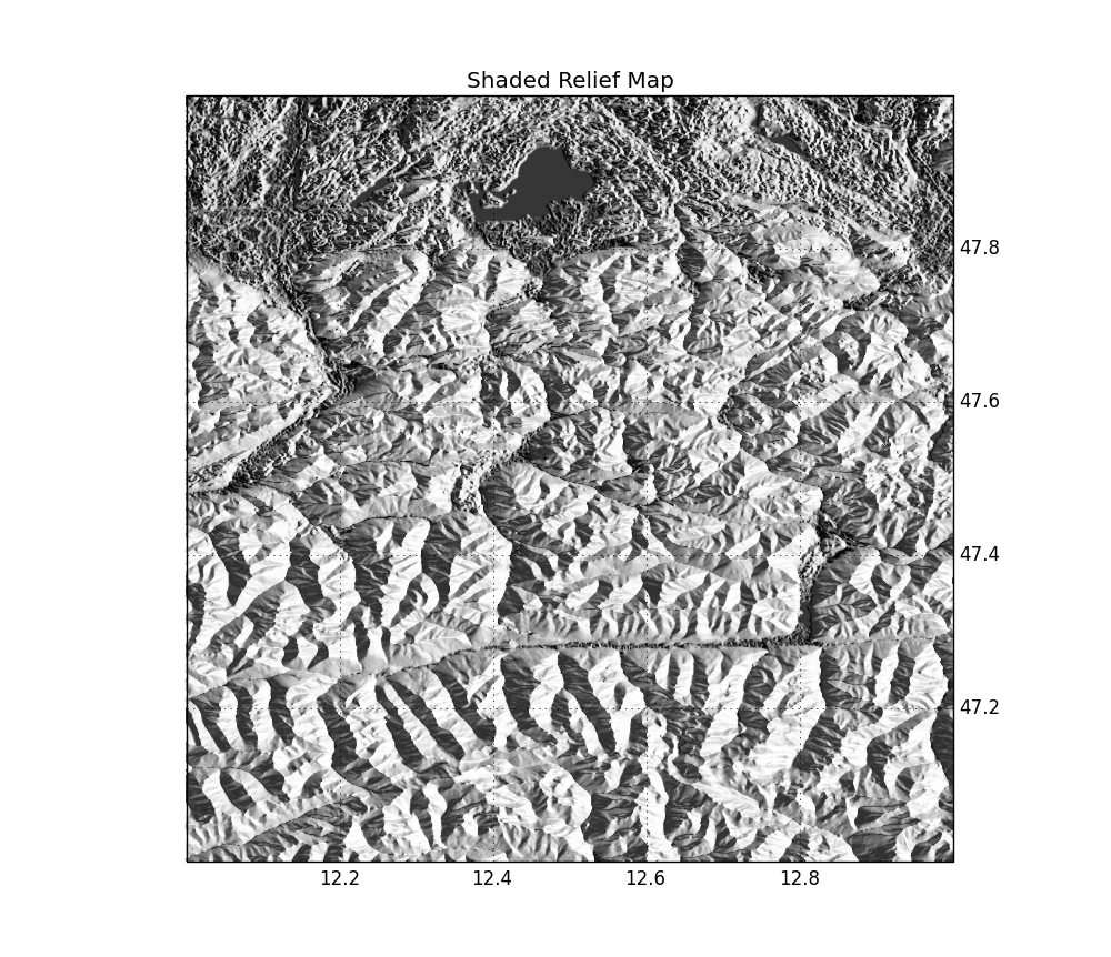
Today, we’ll combine different cool stuff: cartopy, Google Maps tiles, SRTM elevation data and shaded relief maps ! We will need cartopy (+ dependencies), which you can install from source, or from C. Gohlke’s prebuilt binaries for Windows users. The…

cartopy, geography, image processing2 Comments

Relief Maps in Google Earth

10 January 201410 January 2014 Thomas LecocqInformation

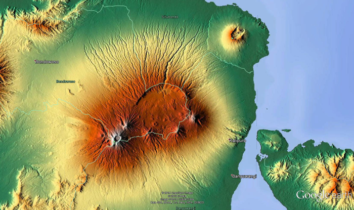
Ok, this must be many years old, but I found it today, so let’s call it a Discovery. The following link gives you the ability to download a network-linked colour-coded relief overlay from Maps-For-Free, but directly in Google Earth. I…

GoogleEarth, kml, reliefLeave a comment

Search

Recent

  • Emails to SMS on a FoxBox 30 October 2014
  • Earthworm statmgr replacement 22 July 2014
  • Playing with PICs – The beginning 1 May 2014
  • Shaded Relief Map in Python 25 February 2014
  • Relief Maps in Google Earth 10 January 2014

Recent Comments

  • Natalia Poiata on Matplotlib Basemap tutorial 09: Drawing circles
  • Thomas Lecocq on Seismicity Map and Rate using Basemap and Pandas
  • vgb on Seismicity Map and Rate using Basemap and Pandas
  • python - L'installazione di shapefile / shapelib non trovato via condã o pip on Matplotlib Basemap tutorial 10: Shapefiles Unleached, continued
  • Jon on Resistivity Data Inversion – Use R2 !
Copyright © All rights reserved.
Start Magazine by Axle Themes
This website uses cookies to improve your experience. We'll assume you're ok with this, but you can opt-out if you wish. Cookie settingsACCEPT
Privacy & Cookies Policy

Privacy Overview

This website uses cookies to improve your experience while you navigate through the website. Out of these cookies, the cookies that are categorized as necessary are stored on your browser as they are essential for the working of basic functionalities of the website. We also use third-party cookies that help us analyze and understand how you use this website. These cookies will be stored in your browser only with your consent. You also have the option to opt-out of these cookies. But opting out of some of these cookies may have an effect on your browsing experience.
Necessary
Always Enabled
Necessary cookies are absolutely essential for the website to function properly. This category only includes cookies that ensures basic functionalities and security features of the website. These cookies do not store any personal information.
SAVE & ACCEPT